
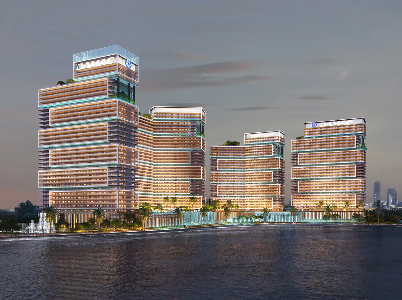
Chelsea ResidencesDAMAC's render, 2025 · from the water at dusk
Contains modified Copernicus Sentinel data 2026 · © OpenStreetMap · Esri · Night: NASA
Sources
Surroundings: imagery captured 29 Sep 2026, Copernicus Sentinel-2 (modified). Buildings, roads and coastline © OpenStreetMap contributors, ODbL. Near the projects: Esri World Imagery (Esri, Maxar, Earthstar Geographics, and the GIS User Community), powered by Esri. Sky: Qwantani Dusk 2 Pure Sky, Poly Haven, CC0. Night map: NASA astronaut photograph ISS030-E-99324, 22 February 2012 (ISS Crew Earth Observations, Johnson Space Center), public domain; NOWAD fitted it to the map. It shows Dubai in 2012, before the three projects.
Renders and film: DAMAC (Chelsea Residences sales library, 2025) and Emaar (Creek Haven page; The Heights library). NOWAD cropped them and extended only the plain sky above Creek Haven's. Distances are straight lines on the map, not views from a unit.
Project positions: DAMAC's and Emaar's own project pages. 3D models: proposed designs, NOWAD illustrations after the developers' published material; they are not the final buildings. The street of villas at The Heights is illustrative: Emaar has not published its layout.
Drag to look around
This browser cannot show the 3D view. The three projects and their figures are all in the column.
Dubai off-plan · checked 1 to 4 Oct 2026
Compare three Dubai off-plan projects.
Prices, payment plans and handover dates from DAMAC's and Emaar's own documents. NOWAD checks them against your budget and replies within one business day.
- Chelsea ResidencesFrom AED 2.5MDAMAC, Dubai Maritime City
- Dubai Creek Harbour2 projectsEmaar master community · Valia, Creek Haven
- The HeightsVillas from AED 6MEmaar community, Dubai South
- In the picture
- Handover
- Towers · tap one, here or in the model
- Source